


Minoan Palace in Archanes
| Distance | 6km to the southeast of Heraklion |
|---|---|
| Open to the public: | The archeological site is still not open to the public |
| Parking space: | Available for all types of road vehicles. |
| Supervised by: | Hellenic Ministry of Culture and Sports |
| Access and walking difficulty: | Difficulty rating 1 |
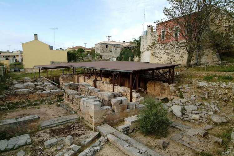
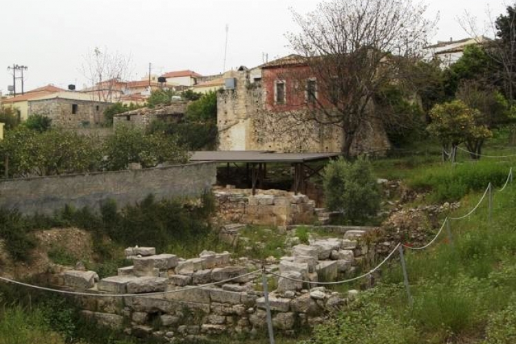
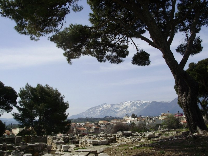
It is situated 16km to the southeast of Heraklion, in Archanes town, a suburb called “tourkogitonia” (Turkish neighbourhood). The excavation is visible from the side of Ierolohiton Street and the side of Vistaki Street.
The first survey was carried out by A. Evans. The systematic excavation started in 1964 by the Greek Archaeological Society, supervised by John Sakellarakis and Efi Sapouna. The surface is estimated to be of the same size of the one in Knossos. What’s excavated: a monumental entrance with a pillared propylon pointing to the central court of the palace, a square room with a low bench, a quadrilateral room – light well with perimeter row of pillars which connected the two rooms last mentioned with the staircase to the first floor, various rooms, a sanctuary, magazines, part of the central court, a built alter with ditch. Some portable finds are: ambi-concave alters, tripod stalls for votives, parts of ivory idols, a clay miniature of a residence, ritual vessels and pottery, seals and tablets in Linear A, fragments of wall painting.
Parts of the palace have been found in other parts of the town. It’s worth mentioning that Evans did his first survey where the church of Agios Nikolaos is, believing that he found the west court and Kouloures (silos similar to the ones in Knossos). This might have been the spot where the gold ring with the bull-leaping theme was found and ended in the Ashmolean museum in Oxford.
The building complex is estimated to be of size B (18000 square meters) Minoan year’s scale and all three periods (First Palatial, Second Palatial, and Post Palatial). For the record, this was the first Minoan building where the archaeologists spoke about the Post Palatial-Mycenaean period in 1980.


_566_400_s.jpg)



 Botanical
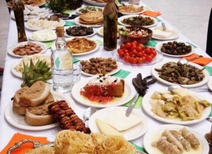 Culinary/Gastronomy
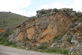 Geology
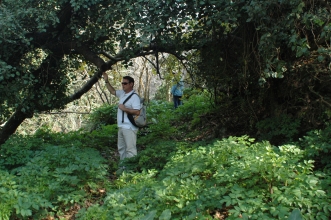 Hiking
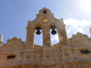 Historical
 Village experiences
 Sports activities
 Cultural
 Archaeology
 Shopping
 Religious Tourism
 Congress
 Accessible Tours


