


The city walls of Heraklion
_750_500_s_c1.jpg)
_750_500_s_c1.jpg)
_750_500_s_c1.jpg)
_100_66_c1.jpg)
_100_66_c1.jpg)
_100_66_c1.jpg)
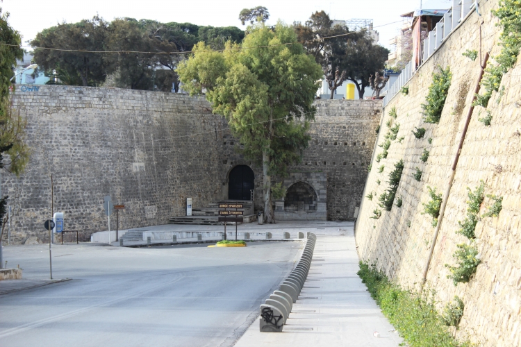
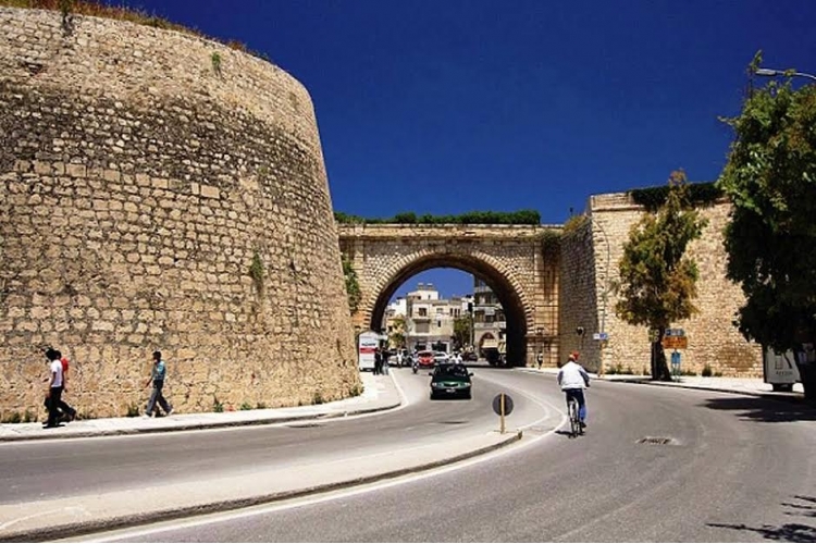
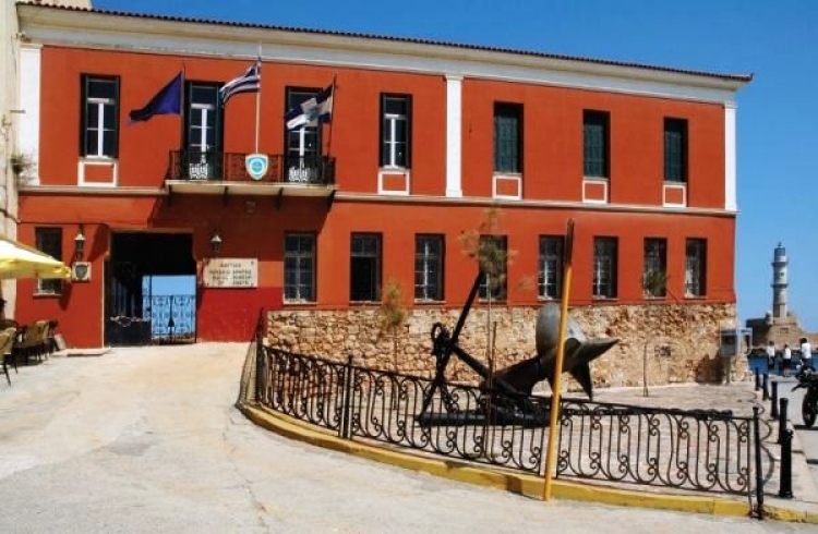
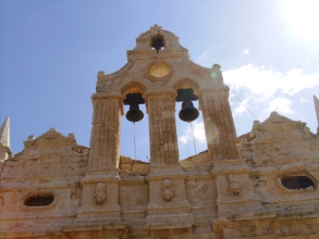
The city walls of Venetian Candia, one of the major defense strategy and military achievements of its time. The walls embrace the old city of Heraklion whilst highlighting the importance of it as a transit station and naval yard of the Serenissima Republic of Adriamycin in the Eastern Mediterranean. The revolution use of gunpowder demonstrated in the 15th century, the expansion of the Ottoman empire in the Mediterranean Sea as well as the extensive development of the city beyond the old Arab and Byzantine fortification (parts of which are still preserved in later buildings of the Duke Beaufort, Daedalus and Chandakos) forced the peoples of the Republic of St. Marko in Venice in 1462 to design and build a new fortification for Candia. This construction which went through many phases took just under two centuries and employed the most prominent military engineers of the time. (Michele San Micheli et.al). The new defensive perimeter, triangular in shape with its base at the sea, five kilometers in perimeter in accordance with the principles of the Fronte Bastionato; the new the Bastion system of fortification architecture, was built for confrontation, and the use of gunpowder and firearms.
The new Walls and Fortification with in total, seven Bastions, (From East to West - Bastion Sampionara, Vitouri, Jesus, Martinengo, Bethlehem Almighty and St. Andrew) joined together with line-segments (cortine), the rampart (cavalier) on or near the ramparts, was surrounded by a moat strengthened with additional fortifications outside and beyond the moat: (Forte di St. Dimitri etc) that enabled them to arrive to through underground galleries that started from the moat. The bastions were very compact structures mainly in a triangular arrowhead shape that protruded from the main line of defense, so protecting the enclosure and adjacent segments, bastions and moat. At the junctions of the bastions to parts of the wall two lower squares (piazza bassa) with stone cannon openings and openings that led to the city as well as the moat. The straight sections (cortine) on their outer walls bared stone with strong inclination towards their base (scarpa) and were reinforced internally with a strong embankment capable of stopping firearms.
The gates ensured that the movements of troops and the population as well as products from East to West: the Gate of St. George, the Gate of Jesus, and the Gate of the Almighty served to connect the city to the east, west south countryside. Similarly ancillary and military gates (The gate of Bethlehem, portal of Ag, Andreas, the Gate of Sampionera) all mainly built like vaulted corridors with adjacent auxiliary quarters (for guards munitions depot) while the exteriors, some of which can still be seen today, are examples of Venetian Renaissance architecture of the 16th and 17th century. The gates also served to connect the city with the sea (Dermata Gate set in the centre of the seawall) as well as harbor with its dockyards (Gates Molou - Peer and Neorion that are not saved this day) The coats of armor of the noble Venetians adorned the city walls, mainly set above gates and inorrechioni underlining the link of the fortification with strong and noble families of the citizens of the Serene Republic of Venice: its symbol the winged lion of St. Mark, the patron of Venice. This winged lion also asserted the power of Venetian Thalassocrasy as well as the sovereignty of the islands. The Venetian fortification that can be seen here is considered equal if not of greater value to the fortification of the medieval knights of the island of Rhodes. Far more extensive despite the Northern seafront section of the walls and opening of the promenade are missing. In Rhodes14th-15th century the visitor was given the opportunity to see the transition of the fortification system through to the development of the bastion system.
Both fortifications have in common, being reconstructed after the earthquake as well as the Ottomans siege of 1489. In other words the walls of Candia were built by the Grand master Pierre d’ Aubusson after 1480. The evolution of fort building can be seen in 17th -18th century Corfu where the experience of the great French architect Vauban with his student Savorgan who had worked on the fortification of Candia in Crete before the Ottoman siege of 1648-1669. Evidence of his work is visible on the Martinego ramparts and Forte di San Dimitri (Kapetanakio School). Further work of this architect is most visible in Corfu and the fortification of Palamidi in Nafplio. For those who enjoy the study of forts and fortifications, through its history Greece has accumulated a greater variety of forts and fortifications than many regions of Western Europe.


 Botanical
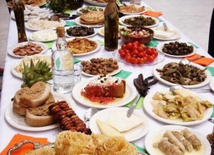 Culinary/Gastronomy
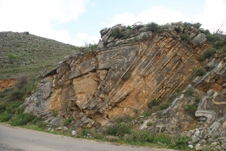 Geology
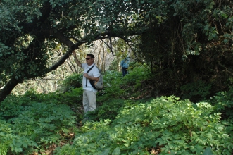 Hiking
 Historical
 Village experiences
 Sports activities
 Cultural
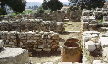
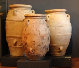 Archaeology
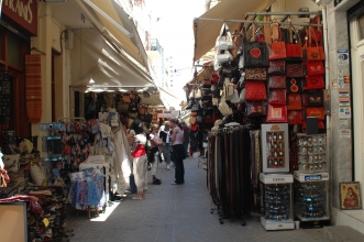 Shopping
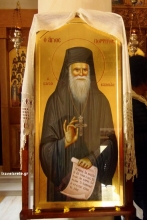 Religious Tourism
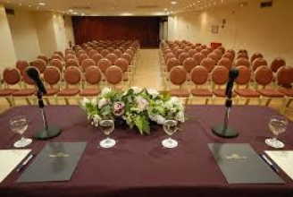 Congress
 Accessible Tours